|
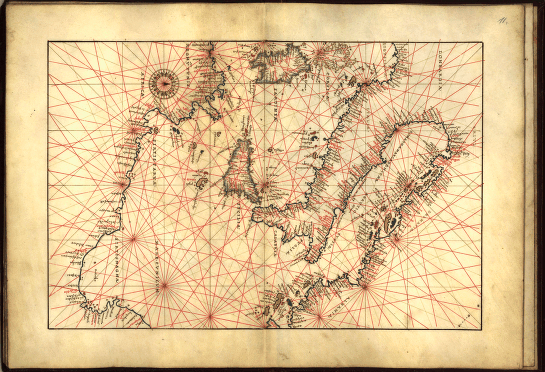
Map of the eastern Mediterranean Sea from
Portolan atlas of 9 charts and a world map, etc.
Dedicated to Hieronymus Ruffault, Abbot of St. Vaast.
Agnese, Battista, 1514-1564.
created/published circa 1544
note: magnetic north is to the right on this chart
Library of Congress Geography and Map Division
|
|